Urban Tree Canopy Assessment: Project Summary
Grand Junction, COGrand Junction Tree Canopy Assessment
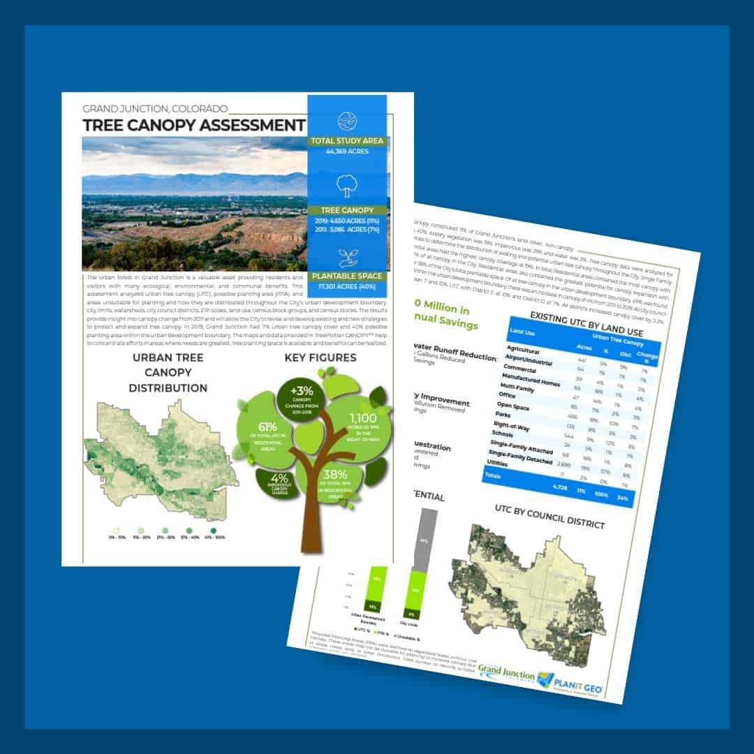
The urban forest in Grand Junction is a valuable asset providing residents and visitors with many ecological, environmental, and communal benefits. This assessment analyzed urban tree canopy (UTC), possible planting area (PPA), and areas unsuitable for planting and how they are distributed throughout the City’s urban development boundary, city limits, watersheds, city council districts, ZIP codes, land use, census block groups, and census blocks. The results provide insight into canopy change from 2011 and will allow the City to revise and develop existing and new strategies to protect and expand tree canopy. In 2019, Grand Junction had 11% urban tree canopy cover and 40% possible planting area within the urban development boundary. The maps and data provided in TreePlotter CANOPY™ help to concentrate efforts in areas where needs are greatest, tree planting space is available, and benefits can be realized.
Tree Canopy Gains
In 2019, tree canopy constituted 11% of Grand Junction’s land cover; non-canopy vegetation was 40%; soil/dry vegetation was 19%; impervious was 29% and water was 2%. Tree canopy data were analyzed for several geographies to determine the distribution of existing and potential urban tree canopy throughout the City. Single Family Detached residential areas had the highest canopy coverage at 19%. In total, Residential areas contained the most canopy with 2,880 acres or 62% of all canopy in the City. Residential areas also contained the greatest potential for canopy expansion with over 6,500 acres or 38% of the City’s total plantable space. Of all tree canopy in the urban development boundary, 49% was found within city limits. Within the urban development boundary, there was an increase in canopy of 4% from 2011 to 2019. All city council districts had between 7 and 10% UTC with District E at 10% and District D at 7%. All districts increased canopy cover by 2-3%.
Key Insights
Total Study Acres
Urban Tree Canopy
Plantable Space

