Tree Inventory and Assessments
SERVING SMALL COMMUNITIES TO ENTIRE COUNTIES AND EVERYTHING IN BETWEen What goes into a tree inventory?Accurate, Efficient, Professional
Partners every step of the way
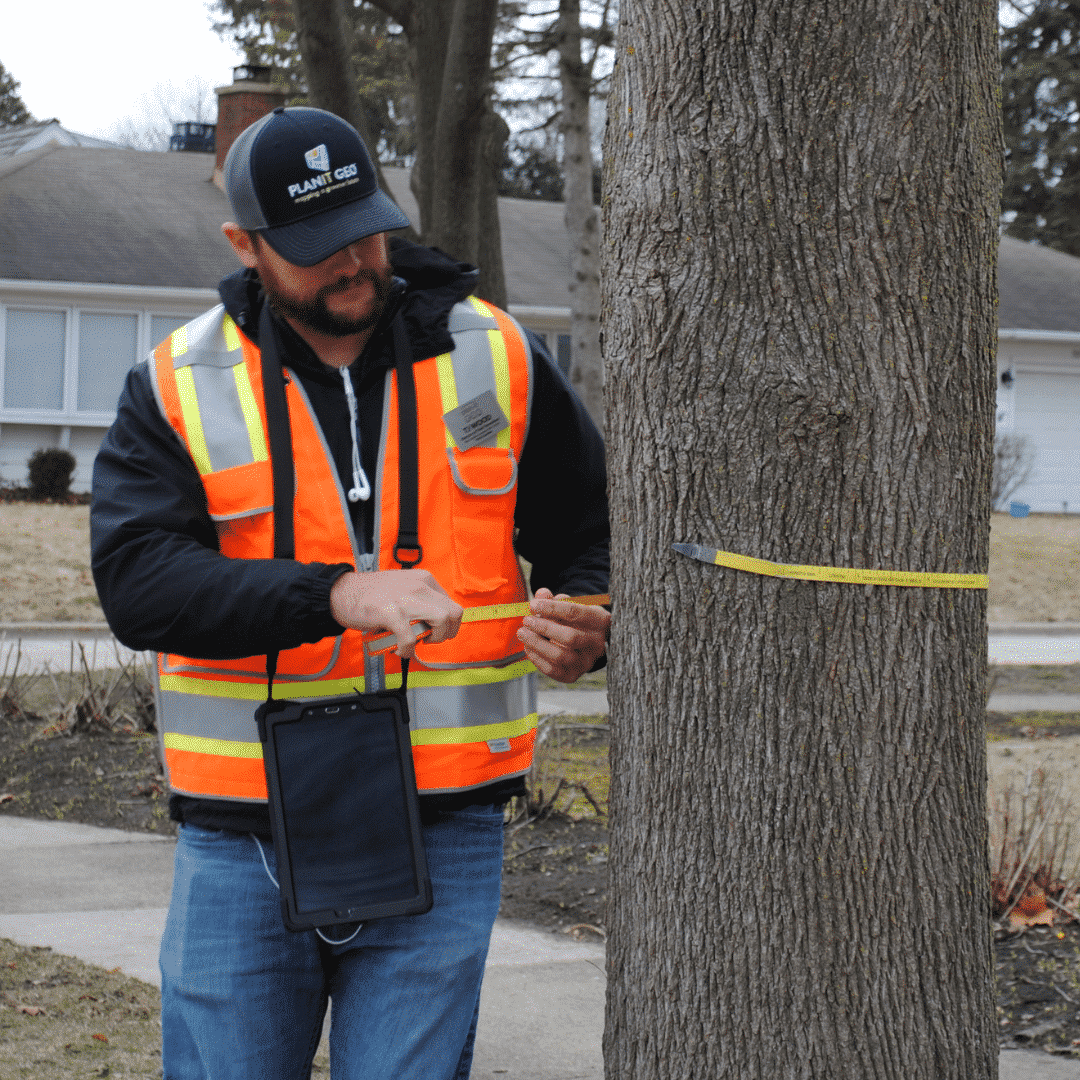
PlanIT Geo is a leader in GIS-based tree inventories, tree data management, risk assessments, maintenance recommendations, valuations, and mitigation reports. Since 2012, our team of ISA Certified Arborists have inventoried over one million trees across 30 states and territories, for clients ranging from small homeowners associations to massive county-wide data sets.
In addition to data delivery, we can provide insights on suitable planting opportunities designed around your budget and planning priorities. Our team also offers guidance, suggestions, and best management practices so your tree data effectively integrates with your operations.

Accurate
All collected tree data, locations, and attributes must pass strict quality assurance procedures
Efficient
Our team uses TreePlotter to collect data fast and complete project on time and on budget
Visualization
Visualize and evaluate your tree management needs in TreePlotter
Real-Time
Review your data in real-time as it is collected
Professional
All data collectors at PlanIT Geo are ISA Certified Arborists
Next Steps
Our team offers guidance and best management practices to integrate tree data into your operations
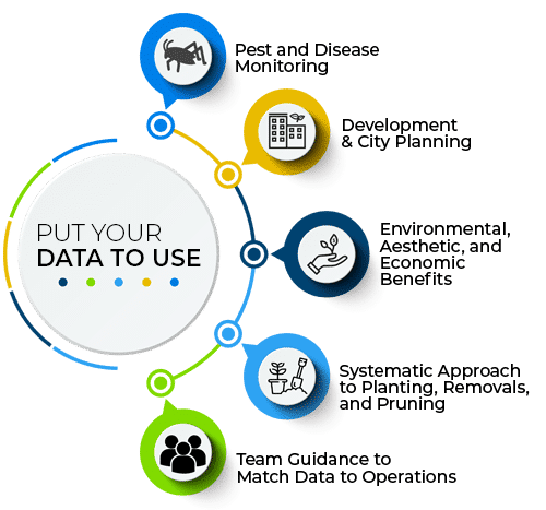
Put Your Data To Use
Match your data to your operations
All projects can be completed using TreePlotter software to ensure delivery of the highest quality GIS data. Maintain your data in TreePlotter or your existing software, i.e. Esri ArcGIS and asset management systems.


Proven Outcomes
Cities, campuses and private entities put their data to use
Ecosystem Benefits
Easily view the ecosystem benefits of individual trees and the entire urban forest
Prioritize
Prioritize removals and maintenance based on risk ratings or other attributes
Inform
Communicate
Communicate engaging, valuable tree information to the public
Meet Our Experts
Investing in ISA Certified Arborists across the country

TJ Wood
Director of Field Services

Alejandro Espinosa de los Monteros
Tree Inventory Crew Leader

Alexandria Hancock
Director of Urban Forestry Consulting Services

Beth Corrigan
Customer Success Manager

Chris Peiffer
Director of Urban Forestry Strategy

Elizabeth Schulte
VP of Marketing

Evan Sims
VP of TreePlotter Sales

Jack Myrna
Field Services Operations and Account Manager

Nate Cummings
Tree Inventory Crew Leader

Rocky Yosek
Field Services Manager

Russell Clark
Account Executive
TreeRadar
PlanIT Geo has partnered with ProArbol to offer non-invasive tree risk assessment tech
ProArbol globally pioneered the use of TreeRadar, a non-invasive radar scanner that maps, visualizes, and quantifies the root systems of trees and trunk decay. TreeRadar technology is harmless to the tree, allowing for a high volume of evaluations without any disturbance to the trees. For example, projects have evaluated over 2000 trees and used the volume and distribution of tree root systems to identify trees with higher failure potential.
Previously the only method of thorough tree root inspection involved soil excavation, although this method was rarely exercised due to the significant site disturbance. TreeRadar offers a better way to complete highly accurate risk assessments to support informed decisions on a tree-by-tree basis.
Check Out Some Recent Work
We are committed to innovation and the success of our clients
West Virginia University
PlanIT Geo completed a comprehensive tree inventory on campus
Boston, MA
Tree Inventory Project Summary
Iowa City, IA
Urban Forest Management Plan and inventory of 50,000 trees on streets, parks, trails, and facilities
Prince George's County, MD
Countywide tree inventory on 178,000 trees across 2,000 linear miles of roadway
Fremont, CA
Complete tree inventory with a full summary and recommendations. View Fremont’s trees in their TreePlotter™ INVENTORY app.
Let’s discuss your next community forestry project today.
About PlanIT Geo™
At PlanIT Geo, you’ll find a team driven by trees and technology. We are innovators and your partner in community forestry.
We are passionate about the work we do and derive purpose from helping others map and understand the value of nature-based solutions for a greener future.
TreePlotter Support
Current clients can visit our support site to get updates, feature releases, and answers to many commonly asked questions.
TreePlotter Support Website
Contact
PO Box 1334, Wheat Ridge, CO 80034
Sales & Support: 833-873-3627
U.K. Contact
U.K. Sales: 07906625472
U.K. Support: 03330 509905
TreePlotter UK Website
Follow Us
Join Our Community
