Building a Sustainable Forest in Colorado Springs
How one city is putting our holistic services to work to understand the past, present, and future of their community’s trees
August 23, 2020 | Maegan Blansett

Consequently, the urban forestry program in Colorado Springs has gradually devolved from one of planned, rotational maintenance to a reactionary system where trees are only visited when they have an urgent maintenance need, primarily driven by citizen service requests. Public safety is becoming a concern, mature trees are being lost due to lack of care, and City Forestry staff worry that the very things that make Colorado Springs great — like its beautiful natural landscape, and trees — are at risk. Fortunately, the City is taking action to address these issues and create an urban forest that is sustainable in terms of both its physical structure and management practices and has selected PlanIT Geo to lay the foundation.

Phase 1: Tree Canopy Assessment
Since the City had never previously conducted a formal assessment of its urban forest, the first step of this ambitious, multi-year endeavor was to assess the citywide tree canopy. Funding for the Phase 1 Tree Canopy Assessment was provided by a grant from the Lyda Hill Foundation that PlanIT Geo and the City secured in 2018. A few questions central to urban forest management guided this assessment: how much canopy does the City have right now, where is it located, and how has it changed over time? To answer these, we performed a full geospatial analysis of the most recently available source imagery, as well as statistical analyses of source imagery from several historical time periods. When we presented the tree canopy assessment results, the City was surprised to learn that, contrary to a decline in the urban forest that had been expected, its urban forest had steadily increased over the past 30 years.
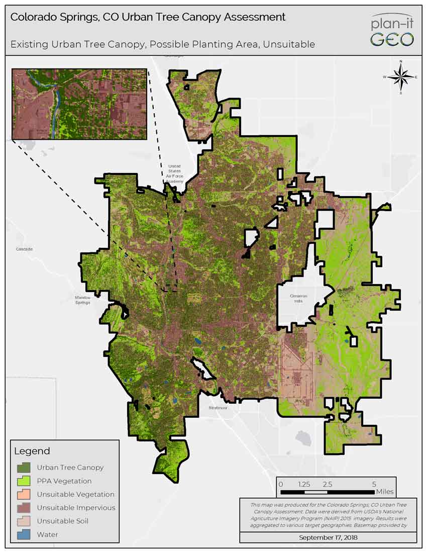
These results signaled the importance of assessing your urban forest from both the “top-down” and “bottom-up.” At first glance, it appeared that the City was losing its trees to mortality from drought, pests, and lack of care… and while these were all true, in fact, new trees were being planted at a higher rate which resulted in an overall increase in canopy. The surge of tree plantings is a result of tree plantings required for new development. Ideally, the City would be able to perform a complete, updated “bottom-up” inventory to visit the growing populations of street, park, and public trees in its care, but this has not been possible yet, so as a part of Phase 1 assessment, two neighborhoods were selected for sample inventories. PlanIT Geo’s crew surveyed every tree in the Old North End and Southeast neighborhoods for species, size/age, and maintenance needs, and documented what the City already knew: that regionally problematic species such as ash (Fraxinus spp.) and elm (Ulmus spp.) comprised large portions of the urban forest, the size and age structure of tree populations were not optimal, and many trees were in need of care. Colorado Springs’ urban forest needed a vision and some long-range planning, and with the results from the Phase 1 Tree Canopy Assessment, City Forestry was able to communicate this need and initiate the process of creating an Urban Forest Management Plan.
Get Your Tree Canopy Assessment TOMORROW
We have your tree canopy assessment data already analyzed and ready for you to use.
Phase 2: Urban Forest Management Plan
The next step along Colorado Springs’ journey to creating a sustainable urban forestry program was to develop an urban forest management plan (UFMP). Whereas the canopy assessment and sample inventories asked what conditions we already had, the UFMP looks to the future, asking what kind of urban forest we’d like to see and envisioning steps to get there. One key function of a UFMP is to “mainstream” urban forestry in the City, or compile all relevant parties and sources of information that relate to trees into one cohesive effort, leading to the development of a plan for the urban forest.
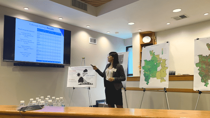
Colorado Springs’ urban forest needed a vision and some long-range planning, and with the results from the Phase 1 Tree Canopy Assessment, City Forestry was able to communicate this need and initiate the process of creating an Urban Forest Management Plan.
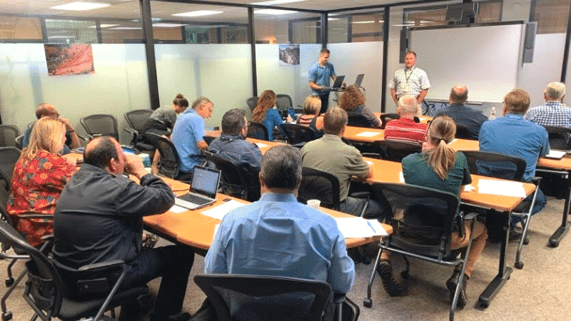
First, staff members from City Forestry and PlanIT Geo met with staff from other City departments and Colorado Springs Utilities to establish a baseline of the City’s urban forestry practices. Existing policies and plans were reviewed to extract any mention of trees or the urban forest to ensure that the UFMP aligned with broader city planning efforts and gauge the City’s readiness for improvements. Next, extensive research was conducted to benchmark the City’s urban forest and forestry program against other similar cities and industry standards. This benchmarking data was then combined with other high-level and in-depth data analyses pertaining to the City’s tree canopy assessment and inventories, as well as the results of a public survey. Ultimately, the results of these various sources of information were incorporated into the USDA-Forest Service Urban Forest Sustainability and Management Audit System to identify strengths, weaknesses, and gaps in the City’s urban forestry practices.
Once all of the data had been gathered and compiled into a Research Summary, it became the foundation upon which the UFMP was built. In an innovative approach designed just for Colorado Springs, four unique scenarios were developed representing different levels of management that City Forestry might implement, ranging from the keeping status quo to increasing funding by a small or optimal amount, to relinquishing street tree care duties from the City to the citizens owning the adjacent property. Within the framework of these four scenarios, PlanIT Geo’s Director of Urban Forestry Consulting Services Chris Peiffer identified sets of Goals, Strategies, Actions, and Targets for each scenario, custom-tailored to help the City move from their existing urban forestry operations to the type of program they’d like to achieve, over a 20-year planning horizon and under a range of budget scenarios.
Next Steps
The draft UFMP is currently in the review and revision process, but once the final iteration of the UFMP document has been completed, it will be adopted by the Colorado Springs City Council and implemented by the City Forestry crew. As time progresses, the UFMP can and should be revisited intermittently to assess the City’s progress in meeting its original goals and targets, and can be continually updated to reflect changes.
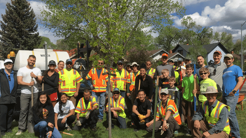
The process has been daunting, to say the least, but we are so excited to be able to finally deliver the Colorado Springs Urban Forest Management Plan that will help transform City Forestry operations from a reactive regimen where staff struggle to keep up with its existing trees’ maintenance needs, to a proactive program that routinely monitors and maintains existing trees, plants new trees in the optimal locations, and engages the community to care for and about them. We know Colorado Springs will become a model for other communities that want to assess their urban forest resource but need a good leading example of how to begin this process.
Related Resources

How To Set Effective, Evidence-Based Urban Tree Canopy Goals
Urban tree canopy goals must walk a careful line of ambition, inspiration, and practicality. To encourage well-informed canopy cover goals we have assembled some best practices to help communities find the right target for them.

Colorado Springs Urban Tree Canopy Assessment Report
This urban tree canopy assessment analyzed the City’s urban tree canopy, possible planting area, and change in UTC over a 20-year period, and also included a public survey and field inventory component. The results provide baseline data to develop strategies to protect trees and expand canopy coverage in our urban and natural areas in Colorado Springs during planning and development.

AI-Driven Tree Canopy Assessments
Mapping and analyzing your urban tree canopy data should be easy and affordable so you can spend more time on planning, management, operations, and community engagement tasks.
Make more time for what’s important by utilizing AI-driven tree canopy data to assess your urban forest.

How to Leverage Your Tree Canopy Data
Tree canopy assessments provide detailed data to perform a variety of next steps. In this on-demand webinar, you will hear from past clients how they leveraged their tree canopy data.
Stay Up To Date With The Latest News and Events
Join Our Community
Stay informed on the urban forestry industry with our monthly TREEbune newsletter, live webinars, and industry-specific content delivered to your inbox.
Urban Forestry Webinars
PlanIT Geo has a substantial on-demand webinar library. Get CEU credits, grow your knowledge base, and stay current on cutting edge industry technology.
Follow Us
We love to share industry-related news, software tutorials, blogs, and company news across our social channels.
Stay Up To Date With The Latest News and Events
Join Our Newsletter
Stay informed on the urban forestry industry with our monthly TREEbune newsletter, live webinars, and industry-specific content delivered to your inbox.
Urban Forestry Webinars
PlanIT Geo has a substantial on-demand webinar library. Get CEU credits, grow your knowledge base, and stay current on cutting edge industry technology.
Follow Us
We love to share industry-related news, software tutorials, blogs, and company news across our social channels.
