The Impact of Hurricane Michael on Tree Canopy in Florida and Georgia
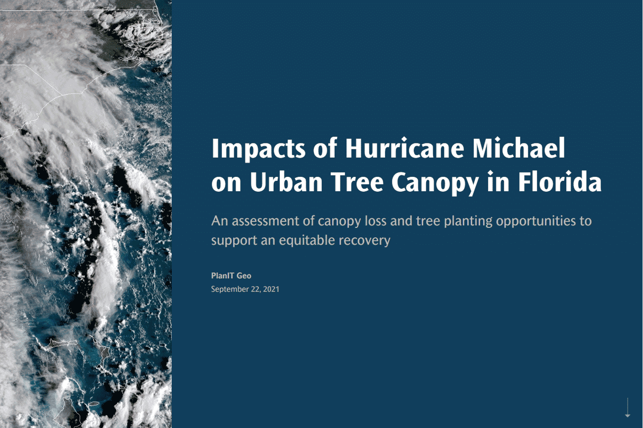
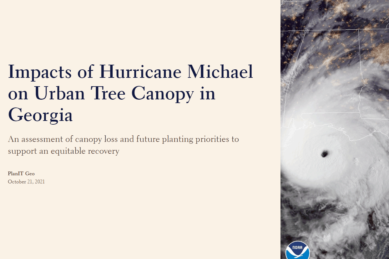
StorymapAfter The Storm: The Impact of Hurricane Michael on Tree Canopy in Florida and Georgia.
In October of 2018, Hurricane Michael, became the first category 5 hurricane to make landfall in the continental US since 1992. The storm devastated Florida panhandle communities and surrounding areas like southwest Georgia with strong winds, pounding rain, and an inundating storm surge. The hurricane not only caused loss of life and infrastructure but also major damage to the region’s forests and urban trees.
The Florida Forest Service, Georgia Forestry Commission, and Georgia Tree Council used federal hurricane relief funding to hire PlanIT Geo to measure the damage to the region’s urban forest. By comparing pre-storm imagery from 2017 with post-storm 2019 imagery, our GIS team was able to acutely measure lost tree canopy, as well as identify possible planting areas and prioritize where new trees will be needed most.
With the increasing rate and severity of natural disasters, assessing damage and prioritizing equitable recovery efforts for urban forests is more important than ever. Any area that looses canopy is prime for replanting, but governments and community organizations have to be strategic in determining where to invest their (often limited) funds. An urban tree canopy assessment helps guide those decisions by layering tree canopy data with socioeconomic datasets.
Explore the two storymaps below to see how priority scores were developed using areas with low canopy cover, large amounts of plantable space, greater amounts of storm damage or canopy loss, and lower income and more racially and ethnically diverse residents.


