The Difference Between Tree Inventories and Tree Canopy Assessments
One is completed on the ground, the other from above. Both provide invaluable information for urban forest management.
September 7, 2021 | Alec Sabatini
The distinction between tree inventories and tree canopy assessments can be confusing. Both are methods for collecting information about an urban forest, but the insights they offer are very different.
This blog post will provide an introduction to both tools, including their planning, execution, and how to put the resultant data to use. For a comprehensive breakdown of tree inventories and tree canopy assessments, please check out our guide on the same topic. You can also access our recent on-demand webinar on this topic to learn more.
Tree Inventory
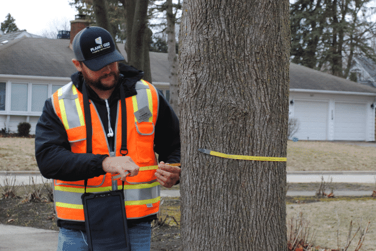
A tree inventory is completed on the ground by field technicians who assess individual trees on a set of criteria and plot their location. A tree inventory provides an exact count of trees in a defined area and depending on the scope of the inventory, can provide detailed information on the condition of each tree too. Some of the key insights of a tree inventory are:
- Species composition and age diversity of trees
- Identifying high risk trees and routine maintenance needs
- Tracking of pest/disease presence
Tree inventories provide the data needed for short-term management of a tree population, such as existing tree maintenance needs, new tree plantings, tree removals, and other day-to-day forestry operations. PlanIT Geo™ has completed tree inventories for cities, counties, nonprofits, as well as corporate and university campuses. If an organization is responsible for a multitude of trees, they will likely benefit from a tree inventory.
Tree Inventory Variations
Tree inventories are not one size fits all. There are several possible variations in scope and execution that influence the final output.
Set the Scope
Full, phased, or sample?
A full inventory will look at all public trees in the community and therefore offers the truest measure of the health and needs of the urban forest. However, if the funds are not available for a full inventory there are other less comprehensive variations.
An approach that has been growing in popularity over the last few years is the phased inventory. This is a full inventory completed in stages over several years as funds allow. Communities still get a comprehensive understanding of their tree needs but the financial burden is distributed over a longer period of time.
The smallest and quickest inventory scope is a sample inventory, which looks at a random selection of trees in the community and extrapolates those results to represent the whole urban forest. With just a 3 – 6% sampling it is possible to get a statistically valid representation of urban tree conditions.
Volunteers or Professionals
A tree inventory can be completed by volunteers, interns, staff, or professional arborists. With training, volunteers can be a cost-effective way to complete an inventory while still getting significant tree data. With user-friendly software like TreePlotter™ INVENTORY, volunteers can use a smartphone or tablet to easily record key tree metrics in a database that can then be managed and reviewed by supervisory forestry staff.
Hiring professional arborists is a substantial expense compared to relatively free volunteers, but it means more advanced tree metrics can be captured. The advanced data collected by certified arborists is more accurate and more detailed, leading to more informed forest management and maintenance planning.

Choosing Data Fields
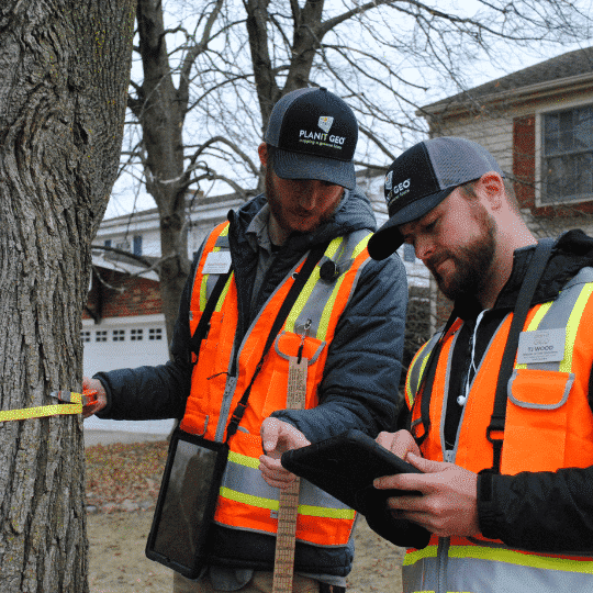
There are basic metrics that should be included in every tree inventory, including species, location, diameter at breast height (DBH), and condition. Beyond those, there is an abundance of supplementary data fields to choose from. Many of these metrics are dependent on the level of expertise of those conducting the inventory. Also keep in mind the more data fields included, the more time the inventory will take.
One of the top suggestions from our tree inventory team is to use a general observations list, which includes fields for commonly detected issues like cavity decay, poor root systems, and crown dieback. Other data fields experts can provide are maintenance recommendations, such as crown cleaning, sidewalk damage, or removal.
The Tree Inventory Is Complete. What’s Next?
So the tree inventory is complete and you now have a new wealth of new data on your trees. Here are some of the ways to put that data to work.
Proactive Maintenance
One of the best perks of recent tree inventory data is using it to set up a proactive maintenance schedule. Instead of responding to urgent individual requests, tree inventories that include maintenance recommendations provide a clear guide to developing an effective maintenance schedule.
Risk Mitigation
Mitigating urban forest risks becomes a lot easier when you are equipped with detailed health and hazard reports for all the trees under your responsibility. By prioritizing the highest risk trees, maintenance operations can dramatically reduce potential tree hazards.
Communicate Ecosystem Benefits
The ecosystem services provided by the urban forest can be accurately estimated from a tree inventory. Having tree benefit dollar amounts at the ready is a powerful tool for connecting internally across siloed government departments that are benefitting from the urban forest without knowing it. It’s also ready available.
A Continual Process
A tree inventory is a snapshot of an urban forest in time. Trees are always changing and tree inventory data loses value over time if it is not updated. To continue to get the most from a tree inventory, update your data management platform with maintenance operations, removals, and new plantings to keep it as representative as possible
Tree Canopy Assessment
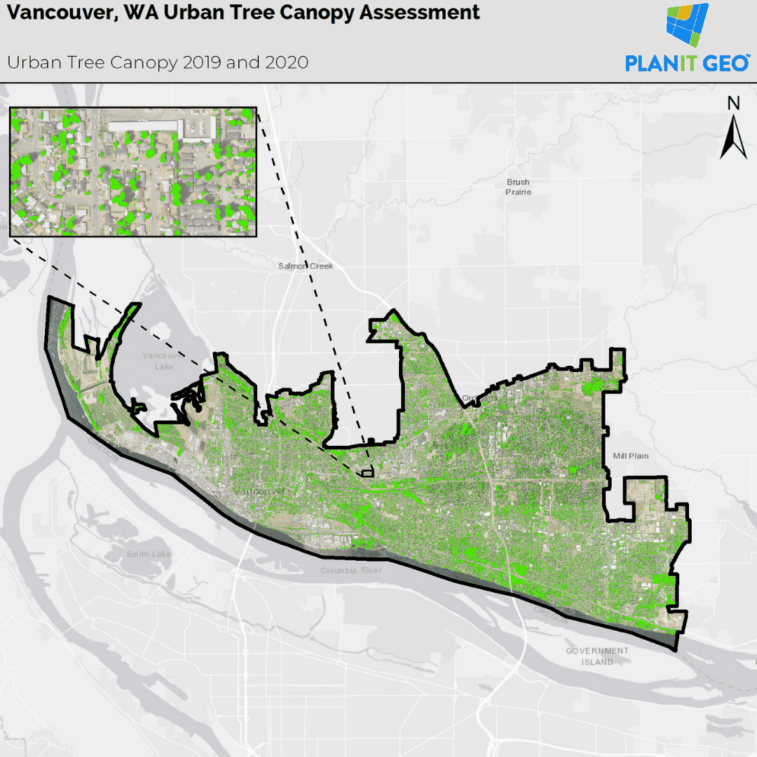
An urban tree canopy (UTC) assessment measures a community’s tree canopy cover via remote sensing and/or a statistical analysis of geospatial data. It shows the percentage of the total land area covered by tree canopy and can also identify available planting space. Additionally, since most of the benefits of trees are causally linked to a healthy spread of leaves and branches, canopy cover information can be used to create estimates of ecosystem services too. Some of the other key insights provided by a tree canopy assessment are:
- Large scale trends of the urban forest over time
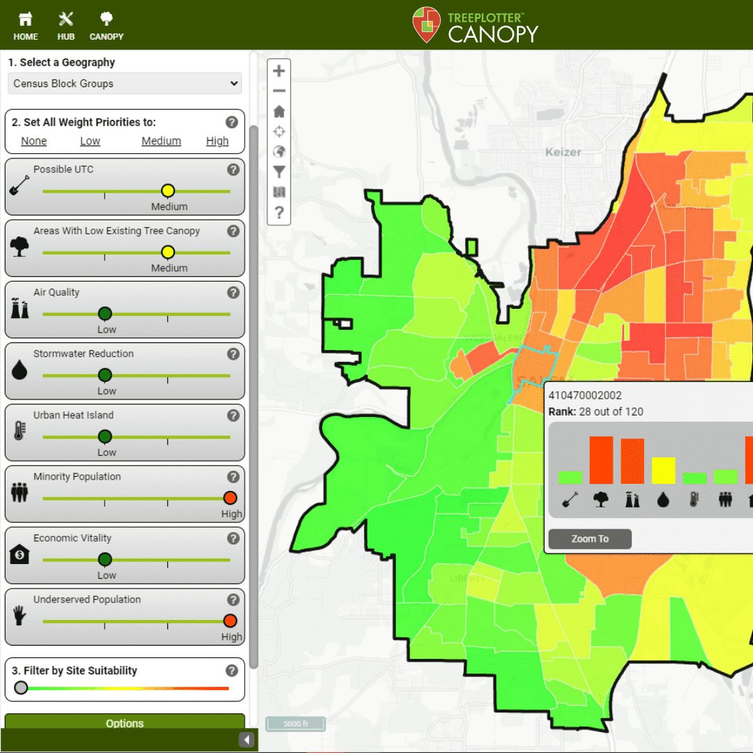
- Comparisons of tree canopy with other environmental factors, such as urban heat, air pollution, and stormwater
- Comparisons of tree canopy with sociodemographic factors, such as race, income, and human health, to evaluate equity
Tree canopy assessments provide data that is beneficial for long-term management objectives such as identifying areas of canopy change, prioritizing locations for future plantings, and evaluating the success of the forestry program’s goals over time. Additionally, since tree canopy assessments are based off of satellite imagery they can include all urban trees in the area of study, both publicly-managed and private.
Methods of Tree Canopy Assessments
There are multiple methods for completing a UTC assessment that vary in scope, cost, and data output.
Point Sampling
This is the simplest method and can be completed using the i-Tree Canopy tool. Random points are generated within an area and manually assigned a value of “tree” or “non-tree” until a 1-2% standard error is reached. By dividing the number of “tree” points by the total number of points, you can quickly get an estimate of the percent canopy cover or any other land cover type.
i-Tree Landscape
Another way to measure tree canopy is through the i-Tree Landscape tool. This tool uses land cover data from the National Land Cover Database. Once a location is selected, an estimate of the amount of tree canopy is provided. You can also explore location data (census data, forest risk, future climate, etc.), see tree benefits, prioritize tree plantings, and generate reports.
High Resolution Land Cover Mapping
The third method uses remote sensing technology and high-resolution imagery (aerial or satellite) and elevation (LiDAR) datasets to create detailed land cover data. These data inform all other aspects of the project by categorizing a given landscape into specific classes such as tree canopy, other non-canopy vegetation, impervious or hardscape, bare soil, or water. This method provides the highest level of detail.
Artificial Intelligence Driven Assessments
This is a new innovation in canopy assessment technology available through PlanIT Geo in partnership with EarthDefine. The methodology is similar to high resolution land cover mapping, but the process is powered by artificial intelligence and machine learning. What this means is the delivery time for UTC assessments can be days instead of months and can be updated at a higher frequency.
The Tree Canopy Assessment Is Complete. What’s Next?
One of the best uses of UTC assessment data is to set a baseline for a citywide canopy cover goal. Urban tree canopy percentage is ideal for goal setting because it represents the complex distribution and benefits of an urban forest within a single metric. Cities around the world use tree canopy goals, such as “Acheive 30% canopy cover by 2030”, to guide and motivate their urban forest management.
Establishing a canopy cover goal is usually the beginning of the process to define and adopt an official planting strategy that will be included in an urban forest management plan. It is a crucial first step though, and a tree canopy goal is a powerful tool. It helps prioritize forest management actions, motivate the public and officials, and inspire funding and stewardship.
Tree canopy data is also an indispensable tool for educating government leadership and advocating for forestry-friendly budget and code changes. Internal discussions about urban forest benefits can be backed by empirical evidence, which reframes the conversation as one of reality, instead of feelings.
Additional Questions
If you have additional questions on tree inventories or tree canopy assessments you can download our comprehensive guide or watch our on-demand webinar on the same topic or get in touch with PlanIT Geo’s Tree Inventory and Geospatial Mapping teams.
Related Resources
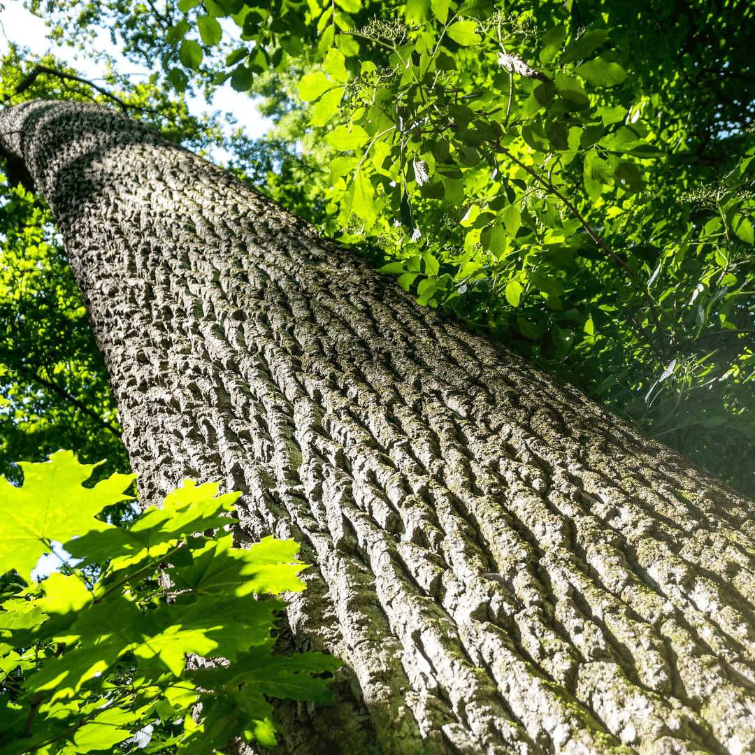
Tree Inventory vs. Tree Canopy Assessment
In this on-demand webinar you will learn the ins and outs of both and find out just how helpful they can be for urban forest management.

Urban Tree Canopy Assessments Blog Series
In this blog series, you will learn more about the urban tree canopy assessment process, why you need one, and how an urban tree canopy assessment will benefit your community.
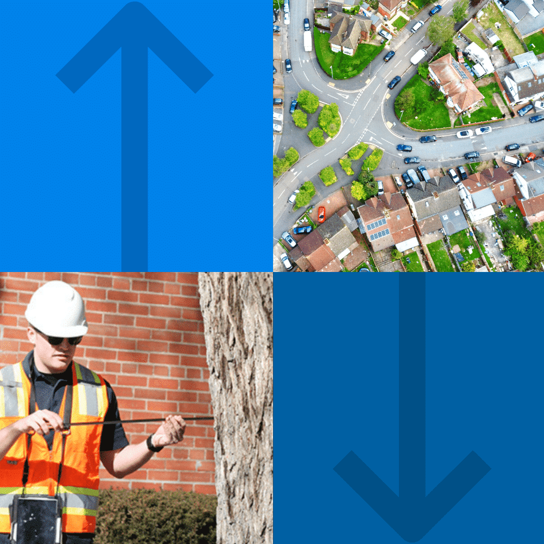
Tree Inventory vs. Canopy Assessment Infographic
This infographic will give you a foundational understanding of both tools as well as similarities and differences.
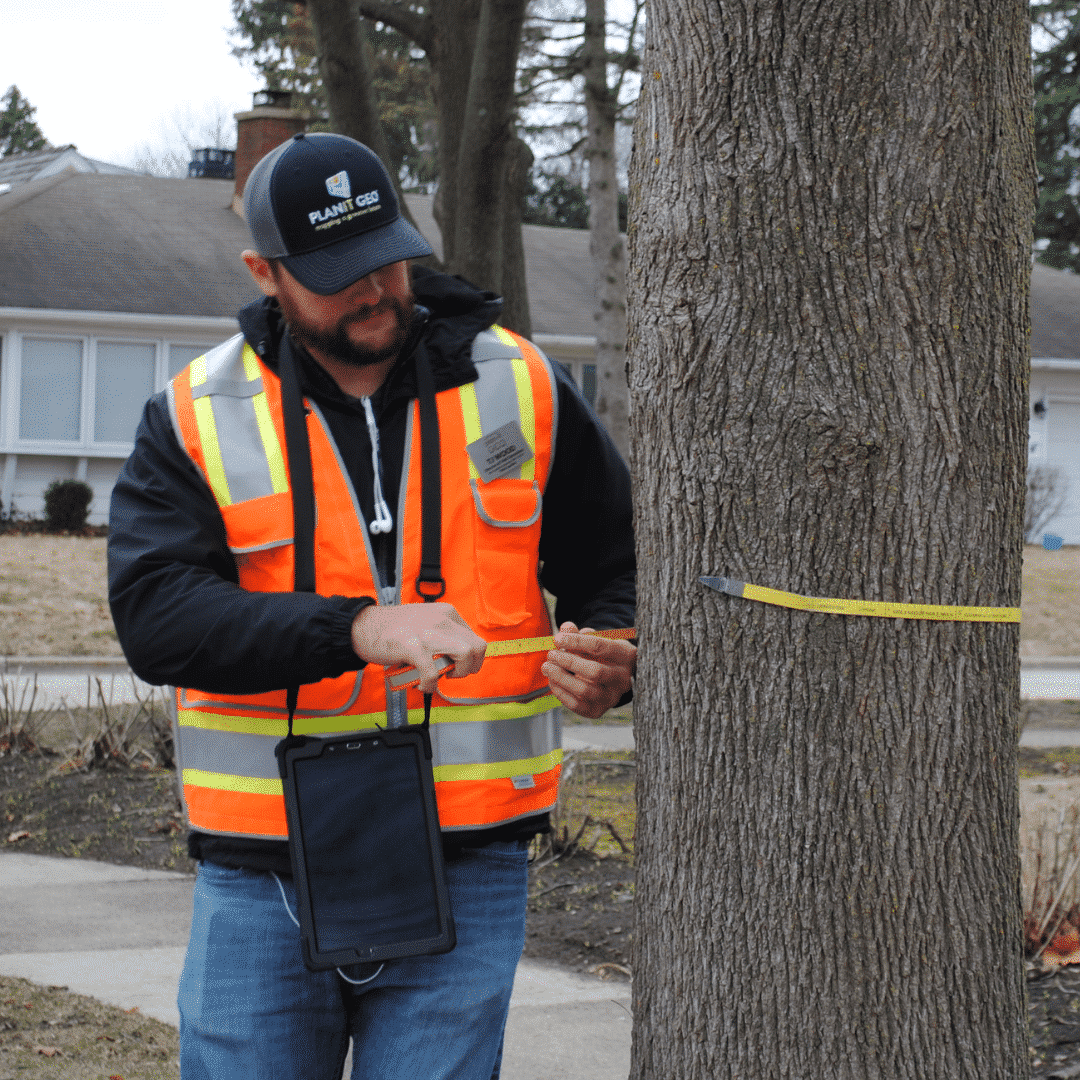
Tips for Planning an Urban Tree Inventory and Getting the Most Out Of It
Urban tree inventories are a way for forest managers to know exactly what they are working with and how to prioritize their maintenance efforts for maximum effect.
Stay Up To Date With The Latest News and Events
Join Our Community
Stay informed on the urban forestry industry with our monthly TREEbune newsletter, live webinars, and industry-specific content delivered to your inbox.
Urban Forestry Webinars
PlanIT Geo has a substantial on-demand webinar library. Get CEU credits, grow your knowledge base, and stay current on cutting edge industry technology.
Follow Us
We love to share industry-related news, software tutorials, blogs, and company news across our social channels.
Stay Up To Date With The Latest News and Events
Join Our Newsletter
Stay informed on the urban forestry industry with our monthly TREEbune newsletter, live webinars, and industry-specific content delivered to your inbox.
Urban Forestry Webinars
PlanIT Geo has a substantial on-demand webinar library. Get CEU credits, grow your knowledge base, and stay current on cutting edge industry technology.
Follow Us
We love to share industry-related news, software tutorials, blogs, and company news across our social channels.
