Everything You Need to Know About AI-Driven Tree Canopy Data
How You Can Get Tree Canopy Data Under $2,600
May 4, 2021 | Justine Petrocchi

Mapping and analyzing your urban tree canopy data should be easy and affordable so you can spend more time on planning, management, operations, and community engagement tasks.
Make more time for what’s important by utilizing AI-driven tree canopy data to assess your urban forest.
What is AI-driven tree canopy data?
AI-driven tree canopy data is sub-meter resolution land cover data providing information on the presence and absence of trees, capturing individual trees and small gaps in your urban forest. AI-driven tree canopy data is created by taking aerial imagery and LiDAR data with machine learning algorithms to extract different ground cover classes and is updated as soon as new imagery is available, usually every two years for most parts of the United States, to capture changes due to deforestation, urbanization, land-use changes, and natural disasters.
Why use AI-driven tree canopy data?
AI-driven tree canopy data provides you with rapid, high-resolution, accurate tree canopy data updating on a higher frequency and at a lower cost than traditional urban tree canopy assessments.
Since the data is created using AI, it can be delivered almost immediately (depending on the data desired). Traditional urban tree canopy assessments can take up to a year to complete while AI-driven tree canopy data can be delivered within a week, or less. The data is created using aerial imagery and LiDAR data that is updated on a regular schedule and can be purchased through an annual subscription, providing you with the most up-to-date tree canopy information. Using the imagery and AI technology, the data can be offered at a lower cost, helping you flatline your budget, having low annual costs instead of a large spike every 5-10 years for a comprehensive study.
What can you do with AI-driven tree canopy data?
Using high-resolution tree canopy data provides you with a wide range of mapping and analytical capabilities including:

Map Actual and Potential Tree Canopy
Use AI-driven canopy data to get a clear picture of your current tree canopy and areas suitable for tree planting on a regular interval basis to track your canopy goal progress and make strategic decisions quickly.

Model Tree Services
Understand how your tree canopy is impacting your community and how tree services can be improved, such as energy conservation, human health, urban heat island mitigation, air quality, water quality, and stormwater absorption.

Natural Disaster Modeling and Risk Mitigation
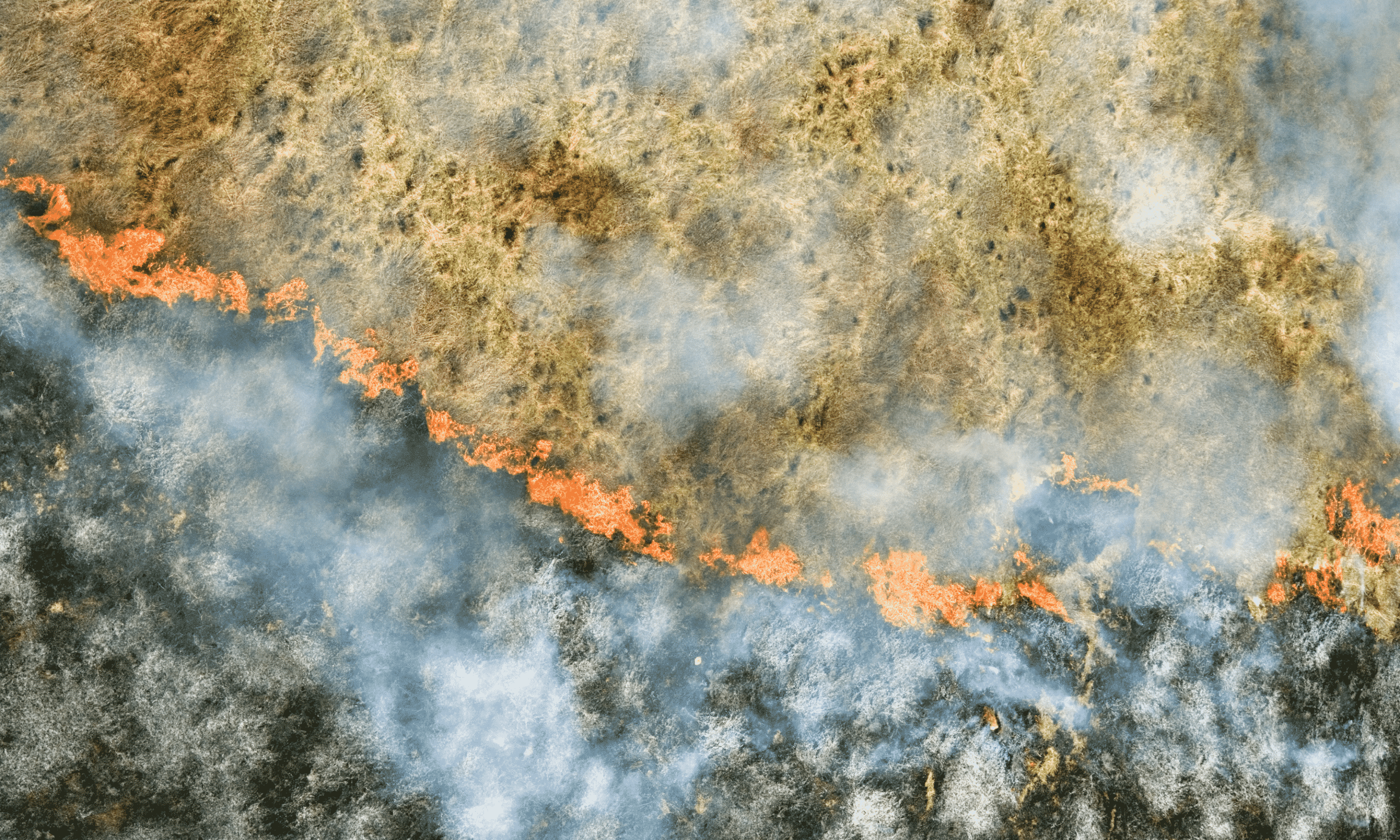
Over the past few years, we have seen an increase in wildfires, hurricanes, and other natural disasters, and their impact on communities. Use AI-driven canopy data to get a better understanding of how your community is at risk and what you can do to mitigate large-scale natural disasters.

Assess Tree Risks
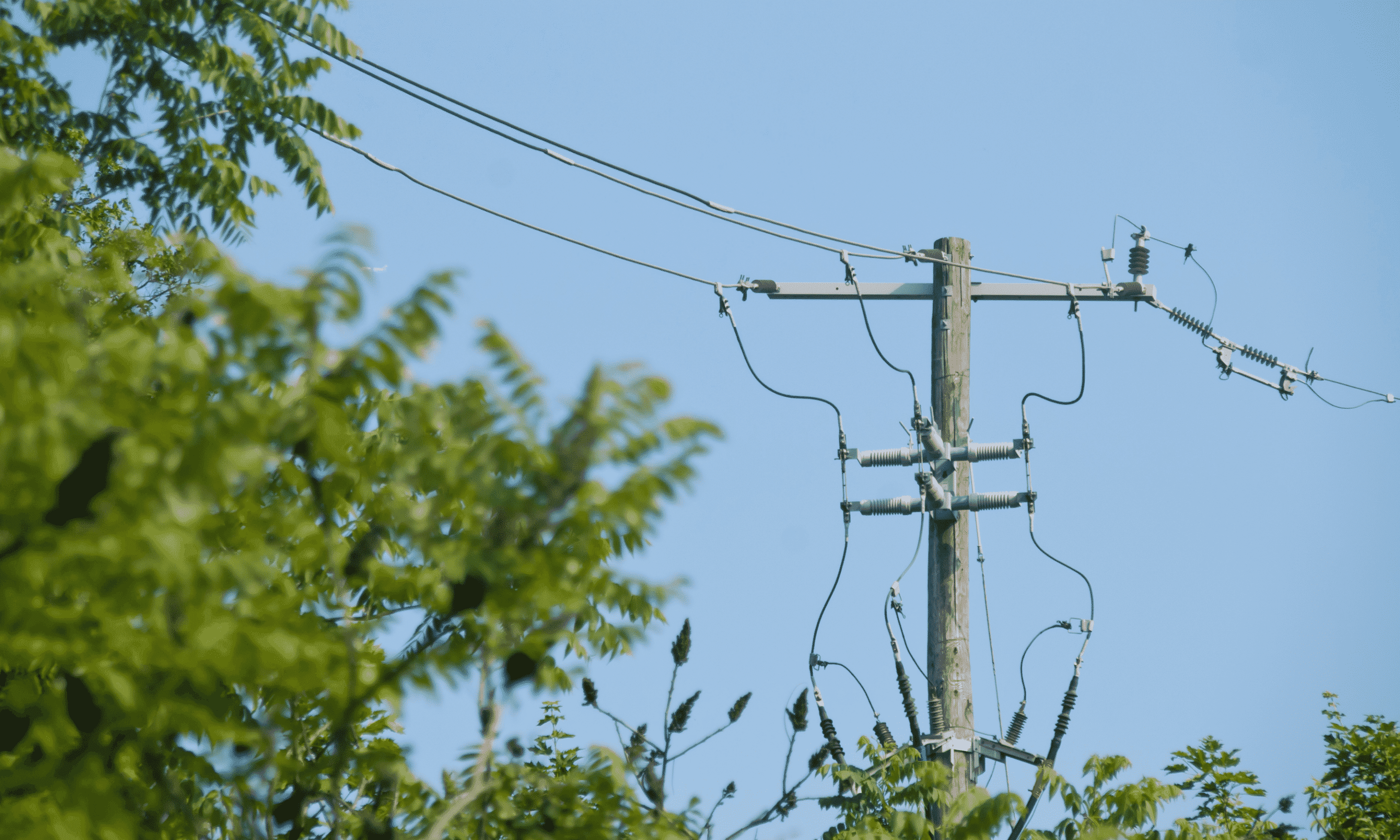
Performing on-the-ground tree inventories allow you to perform a bottom-up risk assessment of your trees, use AI-driven canopy data to perform a top-down risk assessment to evaluate tree risk to residential and business properties, public spaces, utility infrastructure, and more.
How do you get AI-driven tree canopy data?
By teaming with EarthDefine we now have your tree canopy data already analyzed and ready for your use. We are the first in our industry to provide 60-cm resolution land cover data built into an interactive tree canopy software tool, making it simple for you to view, plan and achieve your tree canopy goals.
TreePlotter™ CANOPY Software + Data
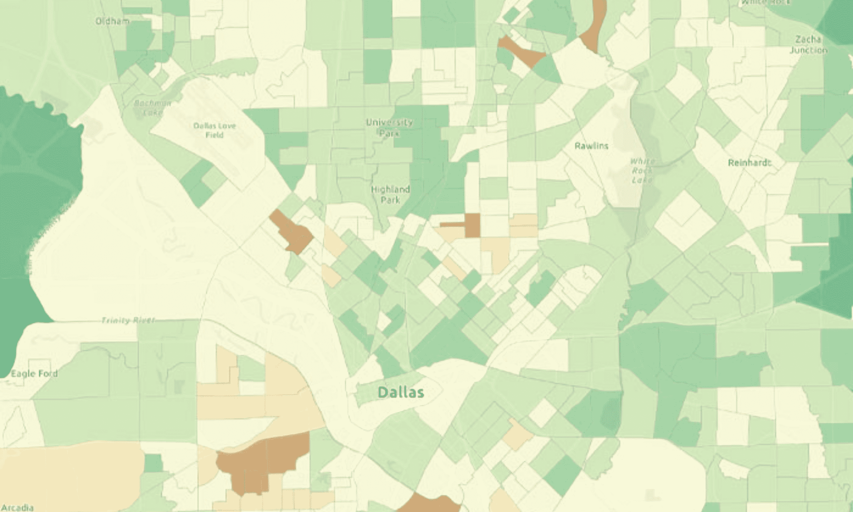
TreePlotter™ CANOPY software allows you to visualize data sets, prioritize planting, communicate canopy goals, implement and track planting projects, and create maps and reports to easily digest complicated data. This software subscription is combined with your tree canopy analysis data, you will automatically see your updated canopy analysis data in the software platform as soon as updated imagery is available, in most areas this is typically every two years.

Prior to this first of its kind offering, you needed to have a completed urban tree canopy assessment data to use the software, CANOPY is instantly paired with the US Tree Map, providing you with an off-the-shelf analysis, reducing technical hurdles; there is no need for GIS staff to help scope out a study or reliance to utilize the data. Little training is required to make maps of priority planting areas and assess goals for Urban Tree Canopy scenarios while customer service comes standard to assist you with any future needs.
With CANOPY, you can share your data in public-friendly and interactive online maps that can be viewed directly in the application or embedded onto your website. CANOPY also displays Tree Equity Scores developed by American Forests and i-Tree ecosystem benefits developed by the US Forest Service. By purchasing the data with an annual subscription, CANOPY provides you with a cost-effective way to manage tree canopy data in one tool.
Data Only
The tree canopy data can also be purchased without the TreePlotter™ CANOPY tool, and provided to you on a subscription basis, continually being updated, or on an as-needed basis. The data will be provided as an off-the-shelf tree canopy assessment and you have the ability to display this continually updated data in your current interface.
With CANOPY, you can share your data in public-friendly and interactive online maps that can be viewed directly in the application or embedded onto your website.
Who can benefit from using AI-driven canopy data
Cities and Counties
We are eliminating as many hurdles as we can to help you to acquire the technology and data needed to drive a strategic urban forestry program. Flatlining your budget gives you the ability to create a long-term, consistent budget to measure and plan your urban forest at the landscape level. We have created this platform so that ANYONE can acquire the tools and tree canopy data they need for long-term planning and quantification of your efforts.
Universities
Universities have the ability to make an effect on urban forest planning and leverage their students in the planning and visioning process. TreePlotter CANOPY + data is a tool any student or faculty can pick up, use, and get involved in the long-term strategic greening efforts on your campus.
Healthcare Campuses
Healthcare campuses often do not have a sole position allocated for the planning and strategy of the trees on campus. TreePlotter CANOPY + data is an easy-to-use, off-the-shelf planning tool and does not require a comprehensive scope of work. When envisioning the healthcare campuses of the future, trees and greening have a significant effect on the ideas behind the greening of our places of healing. With this tool and the data analysis, creating a plan, executing, and continually measuring these efforts is now available and cost-effective.
Be one of the first to experience AI-driven tree canopy data, visit our website to learn more.
Related Resources

How To Set Effective, Evidence-Based Urban Tree Canopy Goals
Urban tree canopy goals must walk a careful line of ambition, inspiration, and practicality. To encourage well-informed canopy cover goals we have assembled some best practices to help communities find the right target for them.

Tree Canopy Data NOW
Urban tree canopy assessment data, metrics, and software for every city and county in the USA. Available right now, off-the-shelf.

Urban Tree Canopy Assessments Blog Series
In this 4 part series you will learn what a customized urban tree canopy assessment is, how it is conducted, and the numerous benefits for your community.

How to Leverage Your Tree Canopy Data
Tree canopy assessments provide detailed data to perform a variety of next steps. In this on-demand webinar, you will hear from past clients how they leveraged their tree canopy data.
Stay Up To Date With The Latest News and Events
Join Our Community
Stay informed on the urban forestry industry with our monthly TREEbune newsletter, live webinars, and industry-specific content delivered to your inbox.
Urban Forestry Webinars
PlanIT Geo has a substantial on-demand webinar library. Get CEU credits, grow your knowledge base, and stay current on cutting edge industry technology.
Follow Us
We love to share industry-related news, software tutorials, blogs, and company news across our social channels.
Stay Up To Date With The Latest News and Events
Join Our Newsletter
Stay informed on the urban forestry industry with our monthly TREEbune newsletter, live webinars, and industry-specific content delivered to your inbox.
Urban Forestry Webinars
PlanIT Geo has a substantial on-demand webinar library. Get CEU credits, grow your knowledge base, and stay current on cutting edge industry technology.
Follow Us
We love to share industry-related news, software tutorials, blogs, and company news across our social channels.
