Why We Built TreePlotter™ PARKS
Park asset management doesn’t have to be complicated, all it takes is the right tool
September 30, 2021 | Ian Hanou

PlanIT Geo™ is first and foremost an urban forestry company. We have an office full of self-identified tree nerds, who revel in solving urban forestry and tree care challenges with GIS-based workflow technology. So why did we create an application dedicated to parks?
There are two reasons.
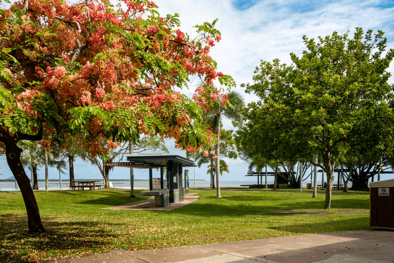
First, parks are too important to ignore. Large or small, these green islands in the gray cityscape provide support for nearly every critical urban need. Parks have an outsized influence on the environmental, economic, and social success of a city.
We can’t effectively or fully do our part to tackle the challenges of urban greenification without addressing the entire fabric: trees and parks, public and private property, public, private, and nonprofit sectors. As a company committed to “mapping a greener future”, we knew we needed to include parks in our mission to improve green asset management.
Second, we knew we could do it well. We had already developed the globally successful TreePlotter™ INVENTORY application and clients kept asking for more. “While we are surveying our trees, can we also inspect other assets? What about mapping, identifying, and scheduling maintenance for benches, flower beds, or playgrounds?” So we decided to augment the INVENTORY platform to make it applicable for a much broader range of assets and users.
Thus TreePlotter™ PARKS was born, and its applicability extends far beyond traditional parks and playgrounds. PARKS can be used for asset management of gardens, facilities, campgrounds, natural areas, open spaces, arboretums, sensitive wildlife areas, drainages, wetlands, and more.
How Our Clients Use TreePlotter PARKS
It turns out many of our clients go through a similar evolution.
They are looking for a better tree management solution and find their answer in TreePlotter INVENTORY. Arborists and other staff quickly learn how to use INVENTORY, appreciate its practicality, and start thinking about other non-tree assets that they manage and how helpful it would be to include them in the same application.
Some of our clients prefer to pay to add a single new map layer to their INVENTORY application to track one additional type of asset. Other clients prefer to upgrade to TreePlotter PARKS to get complete flexibility to add and track a range of different asset types. Let’s look at some real world examples of how our clients are simplifying their “green” asset management needs.

“Our previous database software was difficult to use and thus the data was not maintained.”
-Pieter Taylor, Arborist, Cairns Regional Counci
Cairns Region, Queensland, Australia
The Cairns Regional Council manages the public trees in their 1,600 square kilometer (660 square mile) local government area. Their team of arborists, botanists, and contractors were looking for a new database software solution.
They settled on TreePlotter INVENTORY as a user-friendly option their staff would embrace in the field. They were also interested in adding and developing an additional custom map layer that could track fungi in their tree population. This additional “Fungi Layer” allows the community to record when they see fungi on trees, which can later be tracked and investigated by a mycologist. The flexibility of the application allowed Cairns to develop a custom solution, and they are now in a better position to identify at-risk trees and administer treatment at earlier stages, all while engaging citizens.
Conservation Halton, Ontario, Canada
Conservation Halton is one of the 36 conservation districts in Ontario, and manages over 10,000 acres of forested land, including seven parks, two campgrounds, and ski hill. They were initially interested in TreePlotter INVENTORY, as their current management options relied on multiple, incongruous tools and a poor mobile experience in the field.
They reached out to us and over the course of a few product demos, realized they could do more than just track their trees. They decided to purchase TreePlotter PARKS to centralize trees, recreation amenities, and facility assets under one management system. Their Arborist, Forestry, and Park Operations teams have fully bought into the software because it is easy to master, and it fills in previous information gaps, like establishing the day’s priority tasks first thing in the morning. Since they often work in remote locations, they also appreciate not having to carry anything larger than a cellphone to track assets.

“We were looking for a “one tool” system. We had multiple teams using separate tools to do their job, none of these tools or systems spoke to each other.”
-Josh Reid, Forestry Coordinator, Conservation Halton
Simplifying Park Asset Management
The common thread in all of our applications is high-powered functionality in an easy to use format. We know the faster it is for personnel in the field to learn a new tool, the more that tool gets used. Higher usage means more comprehensive data collection and an easier time tracking, budgeting, and achieving Key Performance Indicators (KPIs).
We designed TreePlotter PARKS to provide just what is needed to effectively manage park assets, without extraneous functions that overcomplicate operations or extend training time. For example, one of our PARKS clients, The Battery (formerly Battery Park) in New York City, was using a universal asset management software that is popular with public works and transit departments. It was more than they needed, and that excess complexity was slowing things down. They switched to TreePlotter PARKS to move faster without sacrificing quality.
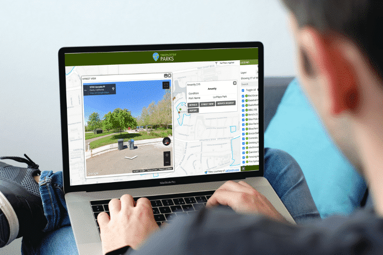
Our browser-based application allows for a quick rollout, with no additional device purchases necessary. Any phone or tablet can be used to locate assets, assess condition, store photos, measure, monitor, report, or share. There is flexibility built throughout the application, with customizable data fields, map layers, and reports, as well as variable user access roles.


Work more efficiently by tracking hours spent on specific tasks and set individual rates for personnel. The work maintenance history makes it easier to identify what assets are eating up a disproportionate amount of your budget and why. The service requests feature provides a straightforward system for tracking submitted issues, routing to request locations, communicating with maintenance staff and notifying the resident when it’s been resolved.
Park asset management has never been easier or faster with TreePlotter PARKS. To learn more about how specifically our software solutions can work for you or to schedule a demo, please get in touch.
Related Resources

Park Asset Management Made Easy
From major city park systems to small community greenspaces, all park managers need a plan for tracking and maintaining the many assets under their responsibility (playgrounds, fences, benches, irrigation, athletic fields, landscaping, etc). This plan becomes a lot easier when you can have a clear picture of what you have, where it’s located, and what is needed. Watch this ON-DEMAND WEBINAR on how TreePlotter™ PARKS

TreePlotter™ INVENTORY in the Public Sector
In this on-demand webinar you will learn the value of modern technology for trees is growing ever more important. Spend time with us and local industry experts Ben Kenyon (Homewood Consulting) and William Murray (City of Wollongong) to learn how they are leveraging technology in the public sector to better map and manage their tree assets.

Urban Tree Canopy Assessments Blog Series
In this 4 part series you will learn what a customized urban tree canopy assessment is, how it is conducted, and the numerous benefits for your community.

Stoke The Public’s Tree Curiosity With A Community Engagement Map
How do you get people to engage with their local urban forest? A good place to start is by having digital resources at the ready when curious residents decide they want to know more about the trees they pass by every day.
Stay Up To Date With The Latest News and Events
Join Our Community
Stay informed on the urban forestry industry with our monthly TREEbune newsletter, live webinars, and industry-specific content delivered to your inbox.
Urban Forestry Webinars
PlanIT Geo has a substantial on-demand webinar library. Get CEU credits, grow your knowledge base, and stay current on cutting edge industry technology.
Follow Us
We love to share industry-related news, software tutorials, blogs, and company news across our social channels.
Stay Up To Date With The Latest News and Events
Join Our Newsletter
Stay informed on the urban forestry industry with our monthly TREEbune newsletter, live webinars, and industry-specific content delivered to your inbox.
Urban Forestry Webinars
PlanIT Geo has a substantial on-demand webinar library. Get CEU credits, grow your knowledge base, and stay current on cutting edge industry technology.
Follow Us
We love to share industry-related news, software tutorials, blogs, and company news across our social channels.
