What Will I Learn From An Urban Tree Canopy Assessment?

The PlanIT Geo™ Geospatial Mapping Services team is passionate about the importance of a quality urban tree canopy assessment.
In this blog series, learn more about the process, why you need one, and how an urban tree canopy assessment will benefit the community.
Part 4: What Will I Learn From An Urban Tree Canopy Assessment?
Trees and People
Since trees can help address a wide variety of economic, health, and equity issues, understanding the connections between canopy cover and human populations is becoming an increasingly important set of information for city planners.
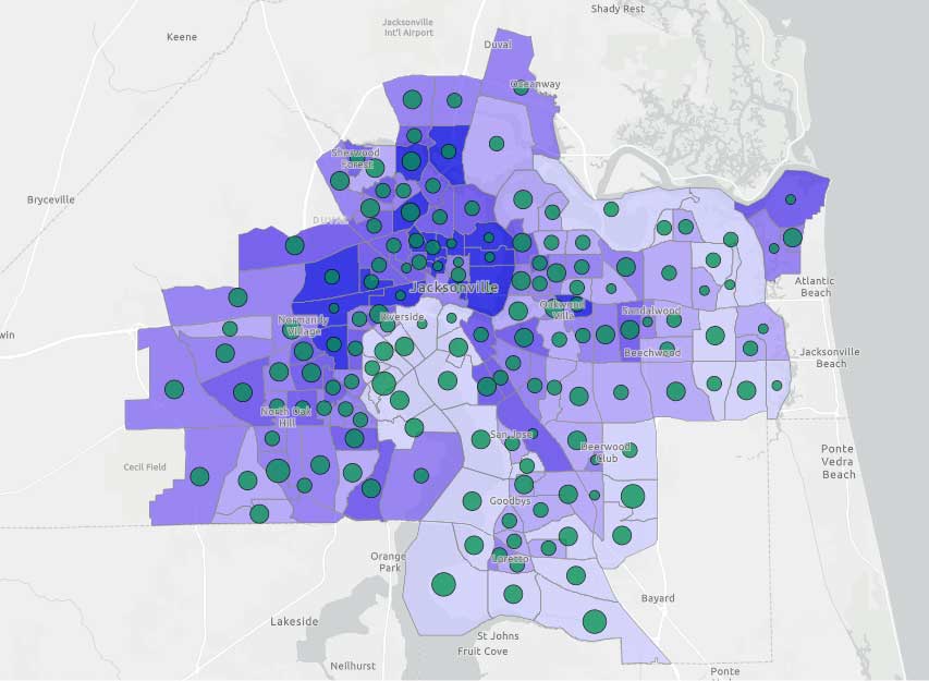
Census data (age, income, race/ethnicity, etc.) and public health metrics can be correlated with tree canopy cover to analyze whether trees are lacking for certain groups of people and where an expanded canopy could help improve living conditions. This map shows the percent canopy cover (proportional green dots) for census tracts in Jacksonville, Florida along with mental health cases from the Centers for Disease Control and Prevention (CDC).
Setting Canopy Cover Goals
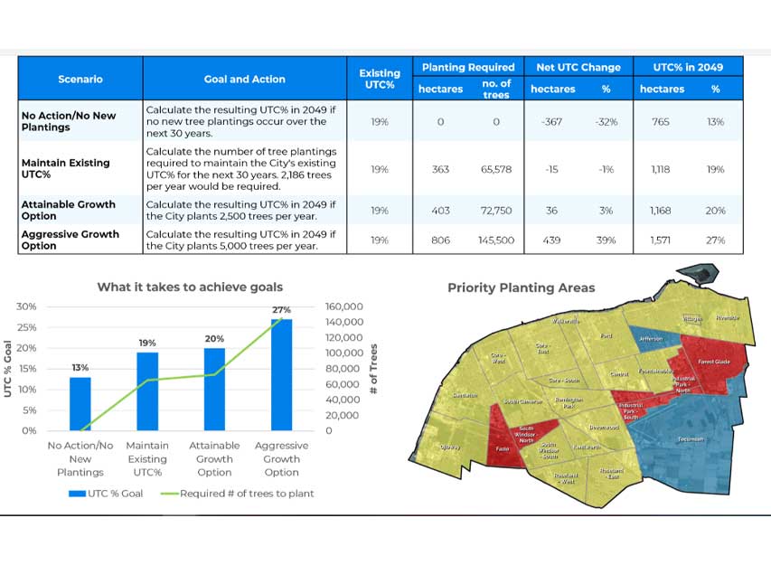
Establishing a canopy cover goal requires knowing what you already have. It also requires knowledge of local issues: is Downtown hotter than other areas? Do the streets flood during heavy rain events? Are there certain segments of the population that don’t have equal access to green space?
You’ll also gain an understanding of the effort needed to reach this goal. Will it take planting 1,000 trees or 100,000 trees? Will you need to focus on public outreach and engagement in order to expand the urban forest in private residential areas?
There is a strong negative relationship between tree canopy and mental health (r = -.40). Higher levels of canopy coverage are associated with lower rates of mental health cases.
Next Steps
Not only are you provided with the raw data and information, but we’ve also developed an interactive, online tool to help you interact with the data and gain a better understanding for your community’s needs.
Assessment Report
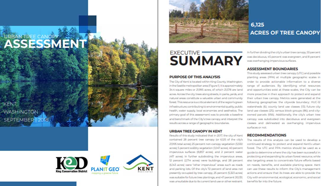
Our reports aim to summarize our methods, findings, and general recommendations on how best to put your new data to use. The data are analyzed to find the most meaningful and practical outcomes such as advocating for public education and outreach programs, locations of the areas that need more trees, the number of trees that need to be planted to achieve goals, and other data-driven advice that can be applied in an urban forest management plan (UFMP).
.
TreePlotter™ CANOPY
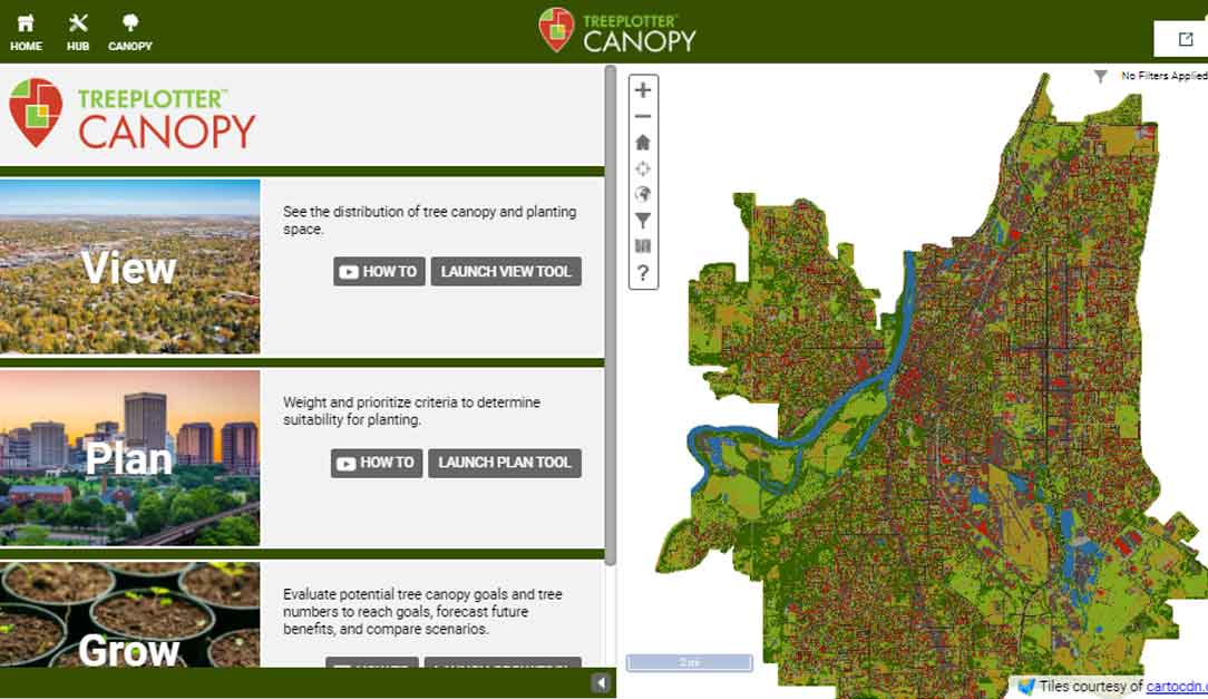
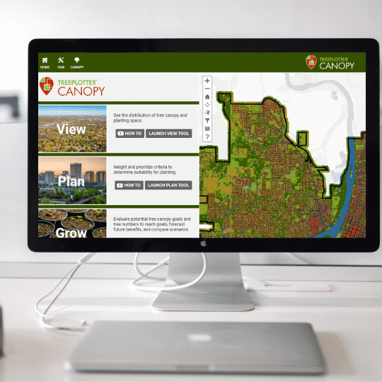
Our decision support tool allows you to view, plan, and grow tree canopy. The distribution of tree canopy and where planting space exists can be easily visualized using the View tool. To learn where to plant trees in order to address environmental or socioeconomic and demographic issues, use the Plan tool. Creating simple planting scenarios to understand what it takes to meet canopy cover goals can be performed with the Grow tool. Try it out in our demo app or learn more about TreePlotter CANOPY here
Read parts 3 and 4 of this blog series to learn how an urban tree canopy assessment will help you understand and manage this critical resource.
Blog Series: Urban Tree Canopy Assessments
Part 1: Why Do Trees Matter?
Part 2: The Benefits of Trees
Part 3: What Is An Urban Tree Canopy Assessment?
Part 4: What Will I Get Out Of An Urban Tree Canopy Assessment?
View our interactive Urban Tree Canopy Assessments Story Map and learn how our Geospatial Mapping Services team can support your community forestry goals.
Related Resources

Urban Tree Canopy Assessment Report
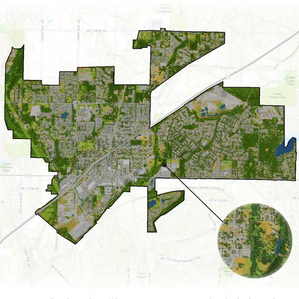
The urban forest in Colorado Springs is a valuable asset that provides residents and visitors with many ecological, environmental, and community benefits.
TreePlotter™ CANOPY Demonstration
Watch this webinar to learn more about the application’s features and functionality.
Everything You Need to Know About AI-Driven Tree Canopy Data
Mapping and analyzing your urban tree canopy data should be easy and affordable so you can spend more time on planning, management, operations, and community engagement tasks.
Make more time for what’s important by utilizing AI-driven tree canopy data to assess your urban forest. Find out how to get your data TOMORROW for under $2600.
White Paper: GNSS for Arborists
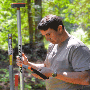
In this paper we provide information on the integration of 3rd party GNSS (Global Navigation Satellite System) receivers with the tree inventory software TreePlotter™ created by PlanIT Geo™ to obtain precise spatial location while collecting data in the field.
Stay Up To Date With The Latest News and Events
Join Our Community
Stay informed on the urban forestry industry with our monthly TREEbune newsletter, live webinars, and industry-specific content delivered to your inbox.
Urban Forestry Webinars
PlanIT Geo has a substantial on-demand webinar library. Get CEU credits, grow your knowledge base, and stay current on cutting edge industry technology.
Follow Us
We love to share industry-related news, software tutorials, blogs, and company news across our social channels.
Stay Up To Date With The Latest News and Events
Join Our Newsletter
Stay informed on the urban forestry industry with our monthly TREEbune newsletter, live webinars, and industry-specific content delivered to your inbox.
Urban Forestry Webinars
PlanIT Geo has a substantial on-demand webinar library. Get CEU credits, grow your knowledge base, and stay current on cutting edge industry technology.
Follow Us
We love to share industry-related news, software tutorials, blogs, and company news across our social channels.
