The Imagery Evolution And Urban Forestry
How Advances in Satellite Technology Made Data Driven Urban Forestry Possible
November 11, 2022 | Alec Sabatini

The first step of an urban tree canopy assessment is to acquire the relevant imagery and other remote sensing data. Though it now seems commonplace, the current state of abundant and accessible spaceborne remote sensing data is an extraordinary feat that has been decades in the making.
So, to fully appreciate the convenience of modern, data-driven urban forestry, we are going to flip back the decades to better understand how we got to this point.
Satellites Take Off
The era of satellites began during the Cold War. The Soviet’s launch of the first satellite, Sputnik 1, in 1957 created a new arena for the two global powers to battle for supremacy. Both countries quickly started pouring resources into developing space programs.
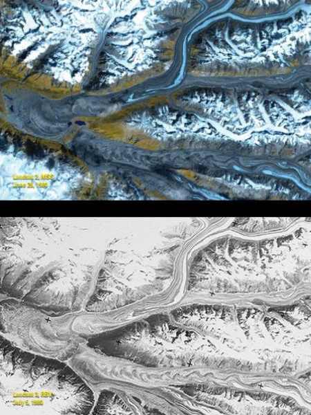
Three years later in 1960, the first weather satellite was launched and provided the first-ever images of cloud patterns in their totality. Over the next two decades, technological advancements and the declassification of military satellites greatly advanced remote sensing capabilities, including the use of multispectral sensors to collect both visible light and near infrared images.
Landsat 1, the first satellite designed specifically to monitor the Earth’s surface, was launched in 1972. Landsat 1 relayed imagery of large sections of the earth’s surface and that data was used in foundational global greenery analyses. The spatial resolution of Landsat 1 was 60 meters, meaning the smallest pixel in its images were 60 meters by 60 meters.
Prior to the launch of Landsat 1, aerial photography was the only source of data for land-cover mapping. Satellite imagery offered an alternative that was easier to update and made it possible to view vast areas in a single scene. However, aerial photography continues to be a useful data source for land cover analysis. For example, we frequently use high resolution resolution aerial imagery, along with LiDAR data, to develop our urban tree canopy assessments.
From 1972 to today, earth-observing satellites continue to improve on all fronts. The minimum size of objects distinguishable on the Earth’s surface keeps getting smaller and the intervals between imagery updates keep getting shorter. The increase of computing power and decrease of cost has pushed satellite imagery into a whole new realm of accuracy and affordability. Dozens of countries have launched their own remote-sensing satellites, as have commercial operators, who provide extremely detailed imagery on demand. All told there are now 906 active satellites orbiting the earth dedicated to earth observation.
Photo Credit: USGS
Imagery In Action
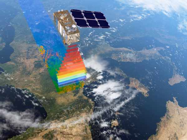
Our partner, the Husqvarna Urban Green Space Index (HUGSI), uses Sentinel 2 satellite image dataset to calculate the green metrics they use to rank and compare cities around the world. The Sentinel 2 satellites are operated by the European Space Agency and their datasets are made publicly available by The European Commission’s Copernicus programme. The Sentinel satellites were launched specifically to support land cover monitoring in support of environmental management, climate change analysis, and civil security.
HUGSI uses additional satellites, such as high-resolution satellite imagery from Airbus and Maxar, to complement and validate their results. Once they’ve collected the big picture, they apply deep learning techniques to process the satellite image data and extract relevant metrics from the raw images. These become insights on size, proportion, distribution, and health of green space in urban areas.
Photo Credit: The European Space Agency
The evolution of satellite imagery has given the scientific community and public decision makers incredible perspective on how urban areas are changing. Now that the data is available and the greenspace analysis is complete, it is up to cities to take advantage of this information to help advance their urban greening goals.
You can learn more about our work with HUGSI on our partnership page. We also developed an eBook, What We Can Learn From Charlotte’s Urban Forest, as the North Carolina city is on a two year streak of winning the top prize on HUGSI’s rankings.
Related Resources
Urban Forestry Guide for NONPROFITS
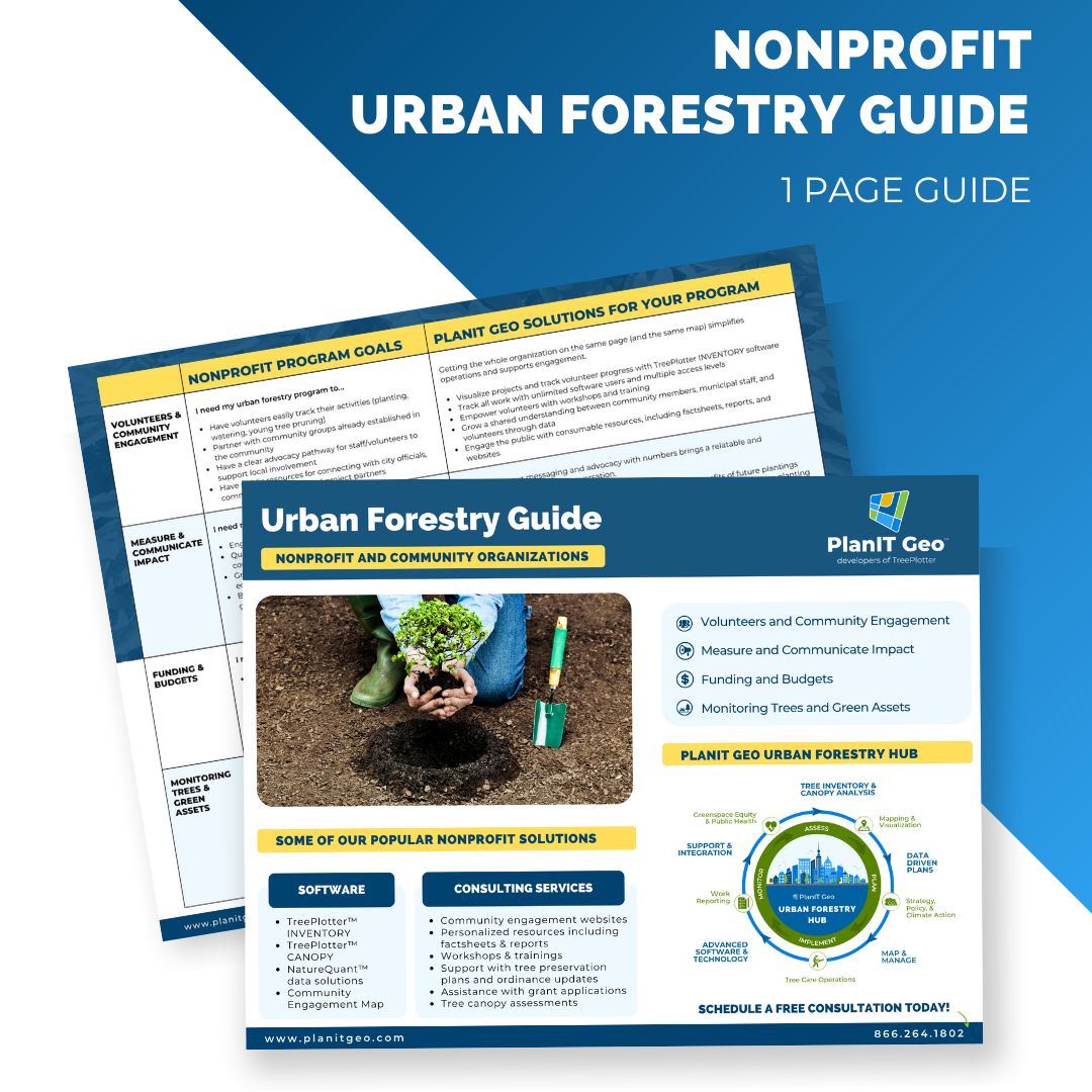
As a hub for urban forestry innovation, PlanIT Geo is able to provide support and guidance at any step in a program’s evolution. The Nonprofit Urban Forestry Guide lays out all of the solutions that we have used to help public urban forestry programs grow, improve, and adapt.
PlanIT Geo and HUGSI Partnership
“Making the world more sustainable and greener by sharing data and methods in order to create and sustain a healthy living environment through improved urban green space.”
-Joint mission statement of the PlanIT Geo and HUGSI partnership

This Is How You Measure The Impacts of Nature On Public Health
For at least the last two decades there has been a steadily growing campaign to get governments and the public to see urban forests as essential infrastructure. The backbone of this campaign has been the quantification and monetization of ecosystem services. New tools are making the positive impacts of nature exposure on public health measurable and practical
Looking To The Future To Plant Trees With Staying Power
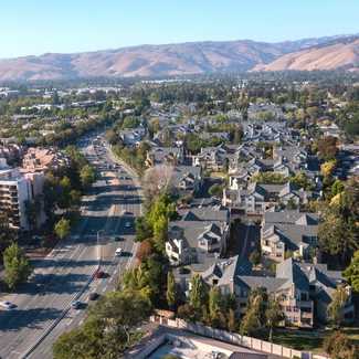
It requires careful planning to select trees that will thrive in the expected climate conditions 20, 30 and 60 years in the future. We were confronted with this task in a project in early 2022 to review and expand the planting palette for the City of Fremont, California. To crack the case we developed a new method called the Sister Climate City Analysis to model the future climate of Fremont with a real world example.
Stay Up To Date With The Latest News and Events
Join Our Community
Stay informed on the urban forestry industry with our monthly TREEbune newsletter, live webinars, and industry-specific content delivered to your inbox.
Urban Forestry Webinars
PlanIT Geo has a substantial on-demand webinar library. Get CEU credits, grow your knowledge base, and stay current on cutting edge industry technology.
Follow Us
We love to share industry-related news, software tutorials, blogs, and company news across our social channels.
Stay Up To Date With The Latest News and Events
Join Our Newsletter
Stay informed on the urban forestry industry with our monthly TREEbune newsletter, live webinars, and industry-specific content delivered to your inbox.
Urban Forestry Webinars
PlanIT Geo has a substantial on-demand webinar library. Get CEU credits, grow your knowledge base, and stay current on cutting edge industry technology.
Follow Us
We love to share industry-related news, software tutorials, blogs, and company news across our social channels.

